Day 9 28/6/19 Netherlands.
We went for a drive in a circle today to see some of the
Netherlands, especially the coastal area’s. We did notice our GPS measuring 26M
below sea level and this is clearly not correct as the lowest point is 7M
below. Having said that, we did go somewhere near this point and probably spent
most of the day at or below the sea and didn’t get wet once. (GPS measurement of elevation is really only a rough estimate anyway)
We travelled west via Arnemuiden, then north via Seroskerke
and Roggenplatt, then east on the return trip via Bruinesse and Helwijk to
Etten-Leur for the night (see map below). The route took us over a number of
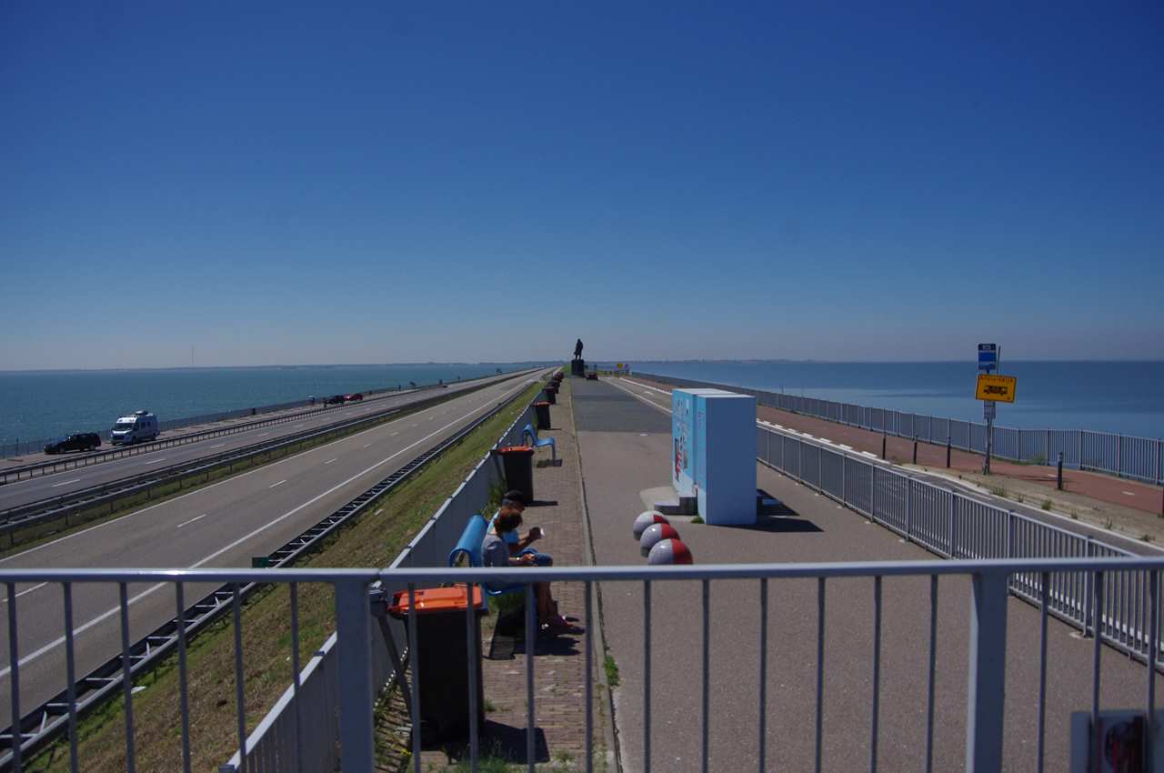
large waterways via bridges, tunnels and dykes.
 |
| Today's route |
The overall terrain is very flat, as you would expect. The
roads are very good although narrow if you get off the major ones, which we did
a couple of times when we missed a turn. The GPS doesn’t always react quite as
quickly as you expect so it can be easy to take the wrong road. Its also hard
to judge where the off ramp may take you because they twist and turn in unusual
directions sometimes.
 |
| Antique plane sculpture near Etton-Leur |
 |
| Typical Dutch building |
 |
| Obviously a windmill |
 |
| Street flower arrangement |
 |
| Parking area near Banjaard Strand |
The beach at Baanyard Strand, north of Seroskerke, chairs and shelters can be hired and extensive boardwalks keep you out of the sand.
 |
| Locals enjoying the sun |
 |
| Transport for getting your hire "lounge" delivered |
 |
| Interesting garden ornaments |
 |
| Extensive sluice gates |
 |
| Got a bit confusing as to where cars could go but we think it was OK to drive here although we did have to backtrack at one stage because a crane blocked the way, we didn't get arrested. |
 |
| Interesting building with two towers |
 |
| Not sure what they where up to, repairing the roof or getting it ready for thatch? |
 |
| There are some very big tractors |
 |
| This is a bridge, up at the moment and you drive around it, not sure why |
 |
| Wind turbines are everywhere |
 |
| The smallest room in the house is REALLY small. |
 |
| Plane jet stream glow in the setting sun, (above and below) |
 |
| Just an interesting shot from our courtyard |